


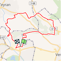


18,6 km | 21 km-effort


Utilisateur


Application GPS de randonnée GRATUITE
 SityTrail
IGN / Instituts géographiques
SityTrail World
Le monde est à vous
Randonnée Marche de 10,3 km à découvrir à Occitanie, Hérault, Le Crès. Cette randonnée est proposée par tracegps.
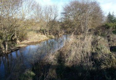
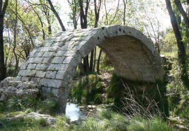
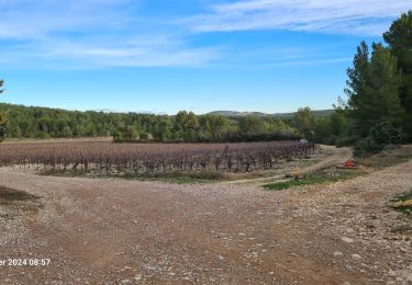
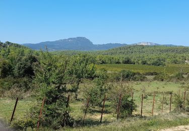
Partir du parking du centre commercial Carrefour (facilité de stationnement) Partir par la garrigue située à 400 m, le parcours emprunte une grande partie de chemins caillouteux, quelques traversées de routes. Vous trouverez sur ce parcours, des enclos avec des chevaux et des vachettes. Pensez au pain dur pour les chevaux. Piétons, si vous avez deux heures à perdre si vous marchez vite, ce parcours est simple et sympa. En vélo, vous mettrez moins d'une heure pour 11 km de rando facile.
V.T.T.
V.T.T.

Marche
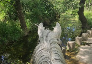
Randonnée équestre
Marche

A pied
Marche